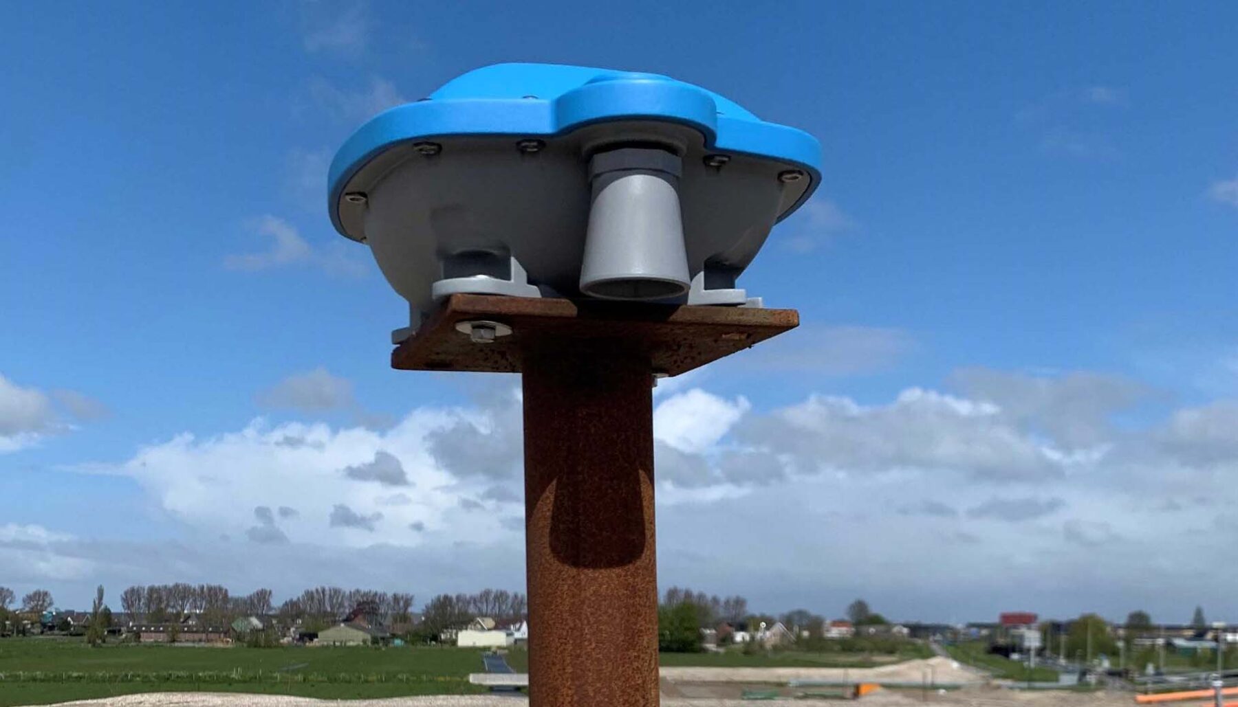
This innovative and fully autonomously IoT GEO PointR® monitors the settling of groundworks making site visits for manually measurements no longer required. It’s easily mounted on top of a settlement rod, communicates wireless and runs for years on batteries. Settling, movement and deformation is accurately measured using satellites with an accuracy better then +/ 8 mm in X, Y and Z direction. These absolute geographic coordinates are calculated at our cloud based platform using a nationwide GNSS reference network.
Specifications
The IoT GEO PointR® wakes up at your preferred schedule and collects at least 20 minutes of satellite data which is wirelessly transmitted using 3/4/5G communication. Our cloud platform processes this raw satellite data 24/7 and calculates accurate X, Y and Z coordinates applying actual correction data from the GNSS reference network. The resulting accurate 3D location and height data is presented in online dashboards but can also be forwarded via an API link for custom integration.
- Supports GPS, GLONASS, Galileo and BeiDou constellations
- Accuracies both horizontally and vertically, deviation better than +/- 8 mm
- Capable of processing 96 satellite signals
- Battery powered for more than 5 years of autonomous use
- Integrated ultrasonic height sensor for measuring ballast height
- Theft and tilt alarm